Sign up for our monthly newsletter
How we're putting design thinking on the map
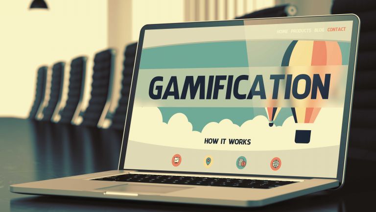
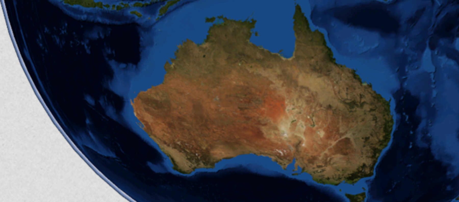
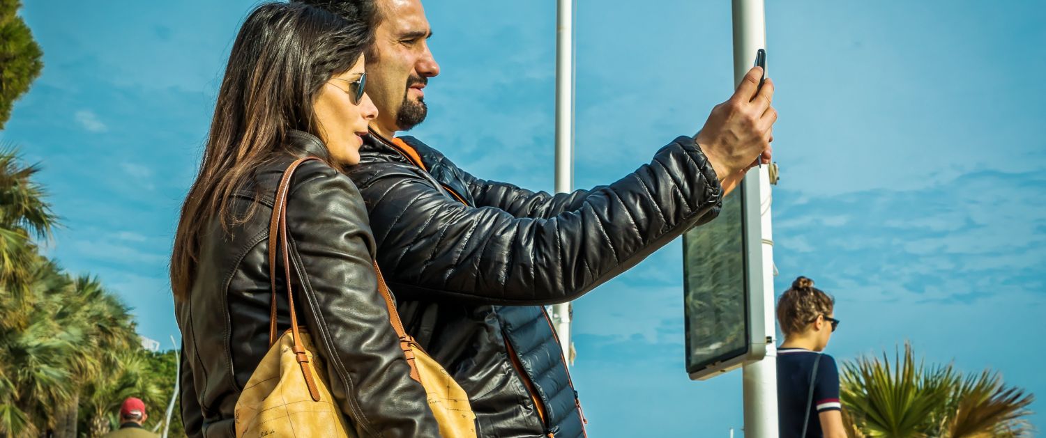
Whether it’s on our phone, our watch or in the car, most of us use online maps every day.
But how well designed are they? How intuitive (or frustrating) to use?
This is where the world of geospatial mapping meets the world of design.
The digital economy is booming and new and exciting apps with mapping functionality are released almost every day.
Such applications need to be designed for ease of use, and to cater for users whose web experience is guided by swiping left or right.
This rapidly-increasing audience can no longer be expected to wade through complex interfaces or wait more than five seconds for a map to appear on screen.
Yet there often seems to be a big divide between UX & digital design professionals on the one hand, and geospatial professionals and cartographers on the other.
ThinkPlace Senior Designer Laura Kostanski is an expert in this fast-developing field. This week she’ll be in Adelaide, helping to run Locate18, the peak conference for geospatial experts across Asia.

This year, the conference is incorporating elements of design thinking, debuting a new “Interaction Zone” that aims to bring the community of experts together with major users to explore key challenges and aspirations for the geospatial industry.
We caught up with Laura (pictured above) to see what’s in store. And what ThinkPlace is doing to apply design thinking to this growing field.
Q: Obviously there’s a design element to any piece of software, any app. What is it about design thinking that can really change the geospatial mapping world for the better?
LK: Geospatial is like any expert industry. It's filled with experts who have a passion and deep knowledge of their craft! Sometimes it can be really hard for experts to remember or understand what the novice experience might be like, and to know how to deliver systems and products that cater for general user needs rather than technical expert needs. There is often a disconnect between the people whose companies and agencies could benefit from a refresh of their geospatial systems, and the technical experts who can deliver these enhancements.
Design thinking offers a way for experts to come together with system owners and users to design mapping systems which are not only accurate and detailed, but provide a superb user experience and enhance the business processes of an agency.
CLICK HERE TO READ A WHITE PAPER ABOUT GEOSPATIAL MAPPING AND HUMAN CENTERED DESIGN CO-WRITTEN BY LAURA KOSTANSKI
Every day we interact with geospatial applications. There are maps on our phones, our watches and in our cars. But how well are they designed for the humans who use them?
Q: How does ThinkPlace operate in this space? What do we offer for people who are creating new applications or systems? Or wanting to explore ways of doing this effectively?
LK: ThinkPlace works with agencies to explore the vast wealth of knowledge and geospatial data and systems they can harness to dramatically enhance the user experience not only for their clients but also for their staff.
Like other agencies, we work with our clients to identify what their clients need to know about the world around them. Unlike other agencies, we also work with our clients to identify what knowledge their staff can contribute to building a picture of the world for clients and the agency itself.
And critically, we focus on building from a position of strength and explore with staff and clients how existing data, information and systems can be enhanced for greater functionality – rather than coming to the task with a pre-fixed off-the-shelf solution to be installed.
We translate dense technical specifications and standards into approachable and accessible information for everyone and we dive deep into understanding the core human needs which can be addressed through geospatial solutions. This is the power of co-design, the ability to bring together all stakeholders to identify strengths, build for needs and overcome blockers.
Q: Tells us about the Interaction Zone. What will be going on in there?
LK: The Interaction Zone is a really exciting concept happening at Locate18 this year. The intention is to provide a space in which experts and users (and hopefully some product owners too!) can explore problem spaces and identify potential solutions. The intention is to encourage robust and useful dialogue between people who have a need for geospatial technology and those who have knowledge or insights into what might be offered. The purpose is to provide a zone which moves people beyond the typical debates that have dominated the field into dialectic explorations that can create new thinking and innovation.
Q: And if people are interested in exploring this area, how can they get in touch with you (this week and beyond)?
LK: I love talking about and exploring all things geospatial – from naming of suburbs and roads (which I used to do!) to identifying preferred database schemas (so much fun!) and mulling over metadata and exchange standards (yep, I really do enjoy this stuff!)
I welcome a chance to connect and discuss the potential for geospatial to supercharge people’s experiences of the world. I can be found at Locate18 this week (send me a tweet!) and otherwise I’m usually hanging out in Melbourne and would happily meet up over a really good coffee. Email me at laura.kostanski [at] thinkplace.com.au.
Sector:
Services:
Share